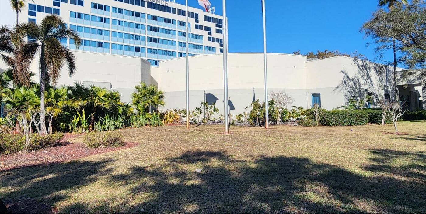
Core Survey Drafting

Topographic Survey Drafting Support.

Topographic drawings require an organized presentation of existing conditions, elevation data, utilities, and site features.

🔒 NDA-Protected Collaboration 📐 Client Templates Followed ✔ Multi-Level QA/QC
Topographic Survey Drafting — RRA CAD SOLUTION
Topographic Survey Drafting

From field information to readable deliverables.

We provide Topographic drafting support designed to convert field information into readable deliverables.

Field data converted into organized, readable drawings
Clean layer organization and annotation placement
Consistent presentation across every sheet
Scope of Support

Support may include:

Surface information
Existing structures and improvements
Utility representation
Trees, drainage, and site features
Existing conditions mapping
Layer organization
Annotation placement
CAD cleanup and formatting
Client template standards
🎯

Our Objective

Prepare organized topographic deliverables with clear presentation and consistent drafting standards.

Start With One Project

Try our topographic drafting support on one project.

Send one assignment with your templates and standards — evaluate our drafting quality, communication, and turnaround before committing to more.
Upload a Trial Project Talk to Our Team
No long-term commitment required for a trial project.