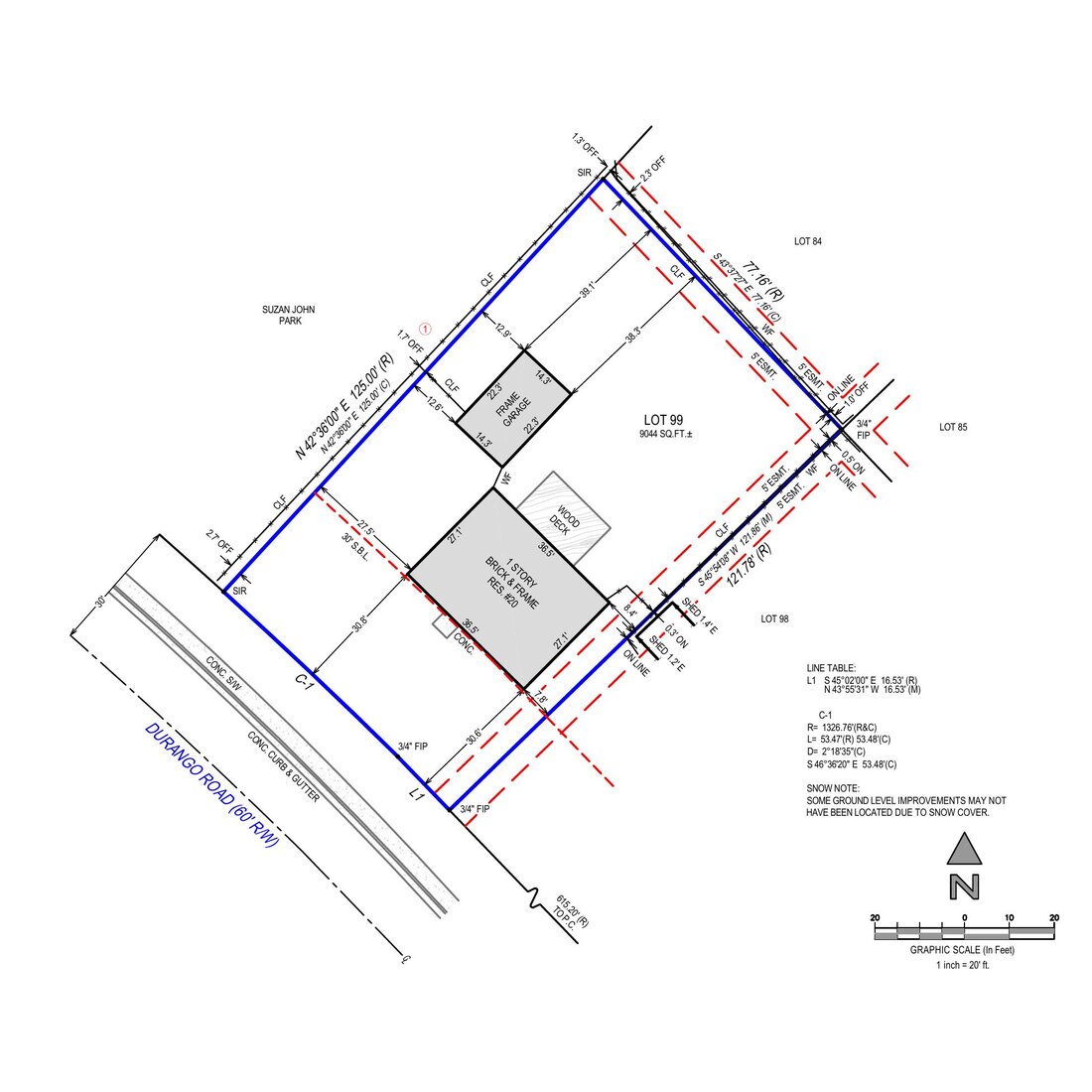
We plot bearings, distances, curves, POC/POB calls, easements, adjoining parcels, and other record information while following the client’s templates and drafting standards.
To reduce manual plotting time and provide survey firms with clear, organized CAD geometry that supports boundary review, deed comparison, exhibit preparation, and project production.
Send one assignment with your templates and standards — evaluate our drafting quality, communication, and turnaround before committing to more.