Our Work

Real projects. Real Survey CAD experience.

Explore selected projects that demonstrate the range, complexity, and production requirements our team has supported for U.S. land surveying firms.

From commercial developments to large multi-parcel properties, our work reflects a focus on organized drafting, client-standard alignment, and dependable production support.

📐 Real Project Experience 🖼 Anonymized Samples 🔒 Client Information Protected
Selected Projects

A closer look at our work.

Every survey project comes with different requirements. The examples below highlight selected projects involving complex title information, easements, multiple parcels, detailed site improvements, record coordination, and client-specific CAD standards.

Complex Title & Easement Coordination

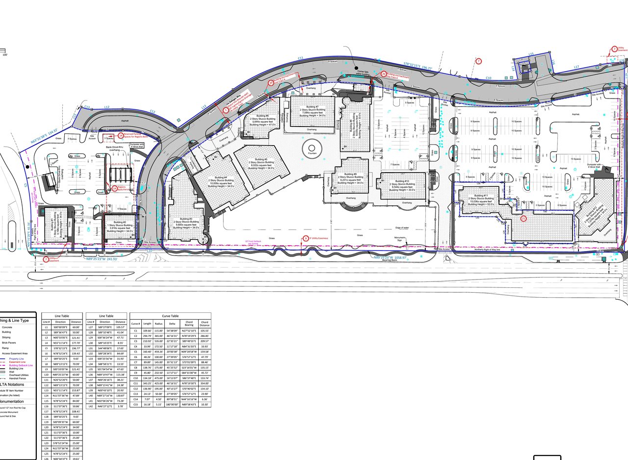
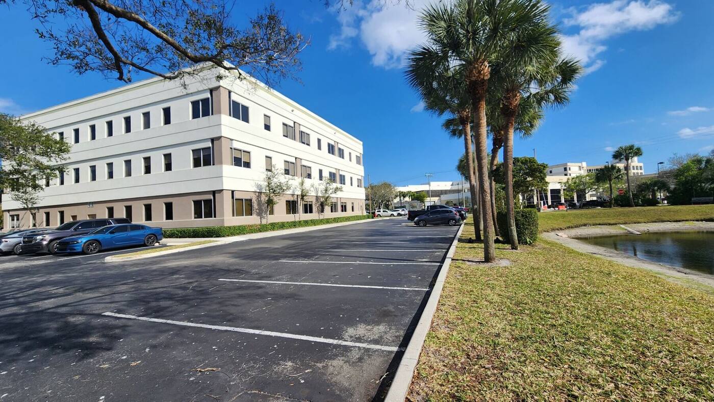
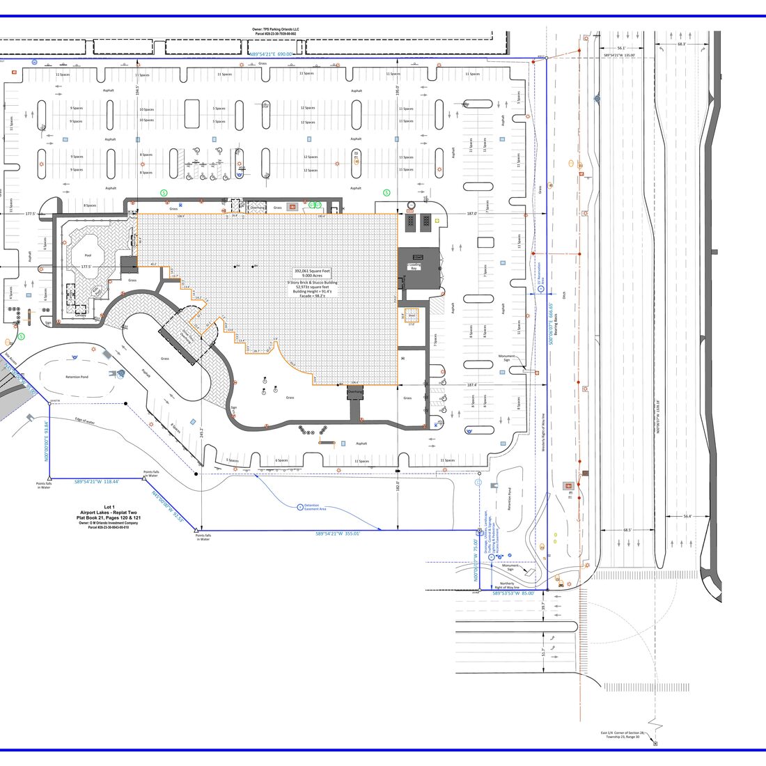
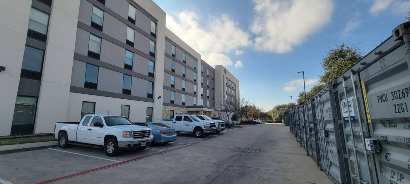
Commercial Shopping Center

A commercial property involving multiple buildings, parking areas, access points, easements, title information, and detailed survey presentation.

Title CoordinationEasementsSite ImprovementsClient Standards
View Project →
Large-Site & Multi-Parcel Coordination

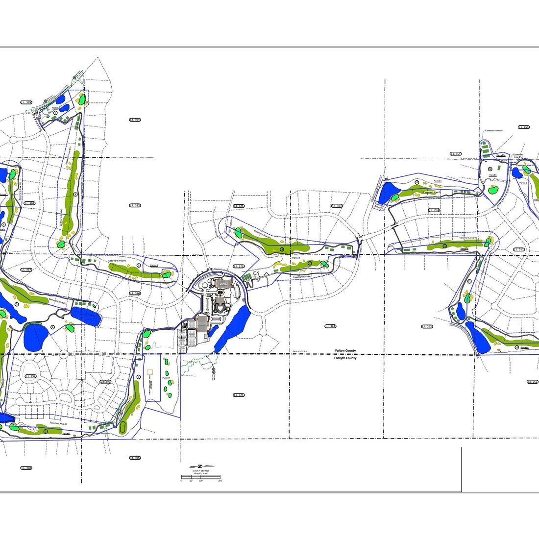
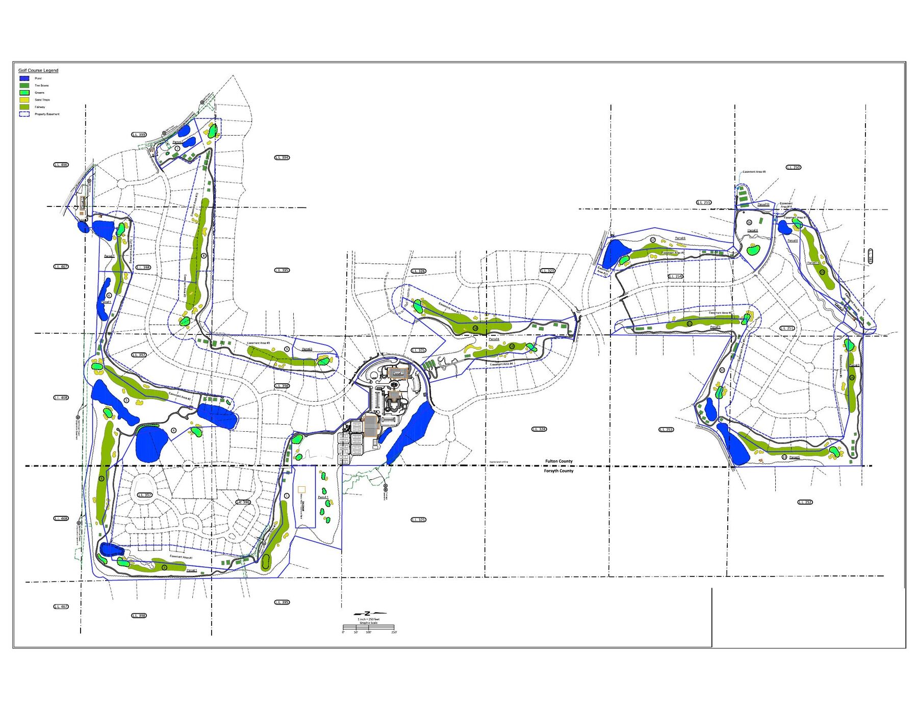
Multi-Parcel Golf Course Property

An extensive recreational property involving multiple parcels, course improvements, access areas, easements, boundary information, and detailed CAD organization.

Multi-Parcel CoordinationBoundary InformationEasementsLarge-Site Drafting
View Project →
Detailed Site & Improvement Coordination

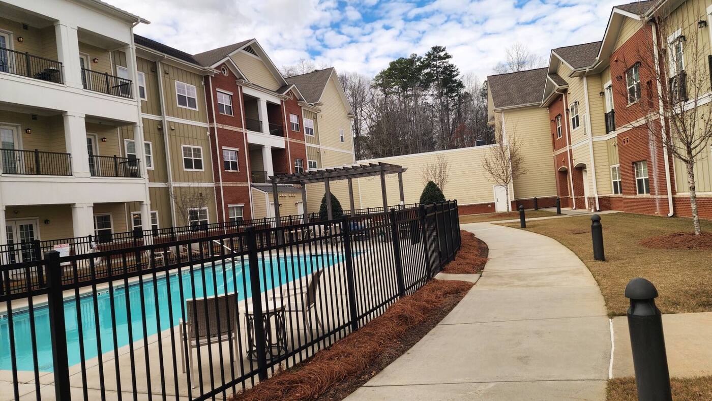
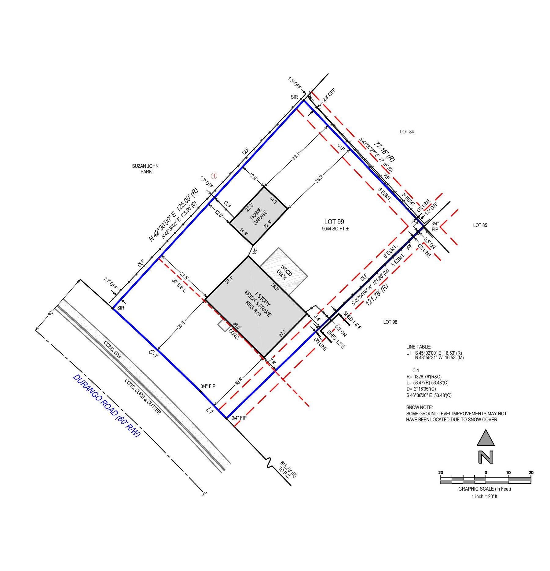
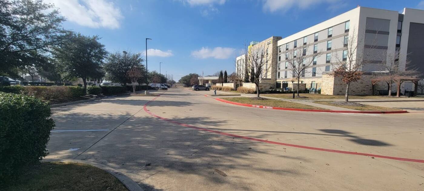
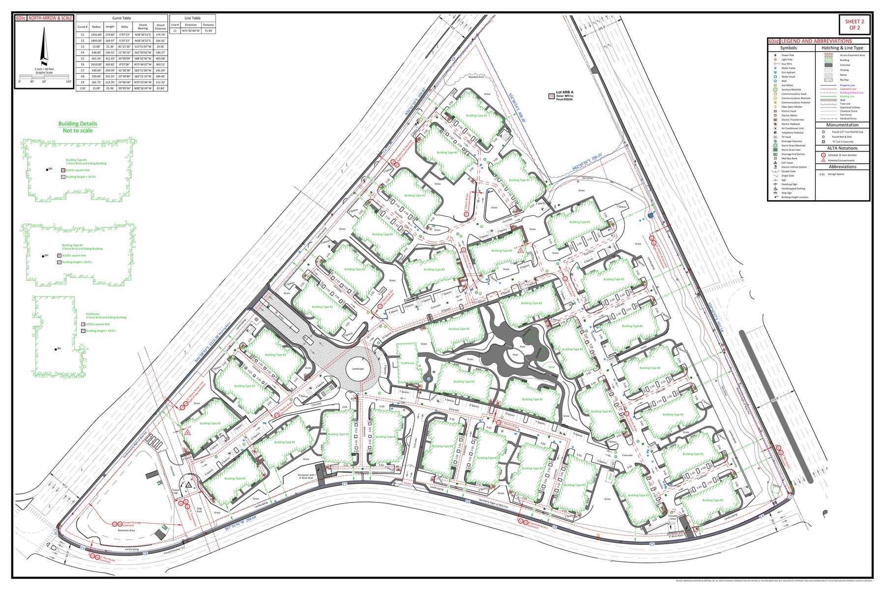
Multi-Building Residential Development

A residential development involving multiple buildings, internal drives, parking areas, site improvements, easements, and detailed survey annotations.

Building InformationParking & AccessSite ImprovementsDetailed Annotation
View Project →
Complex Site & Record Coordination

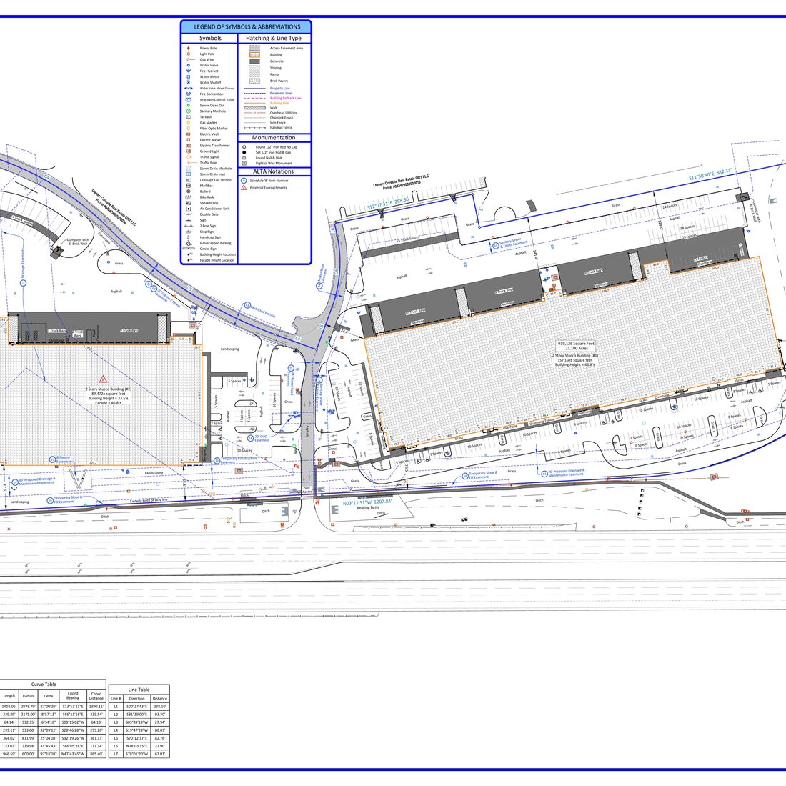
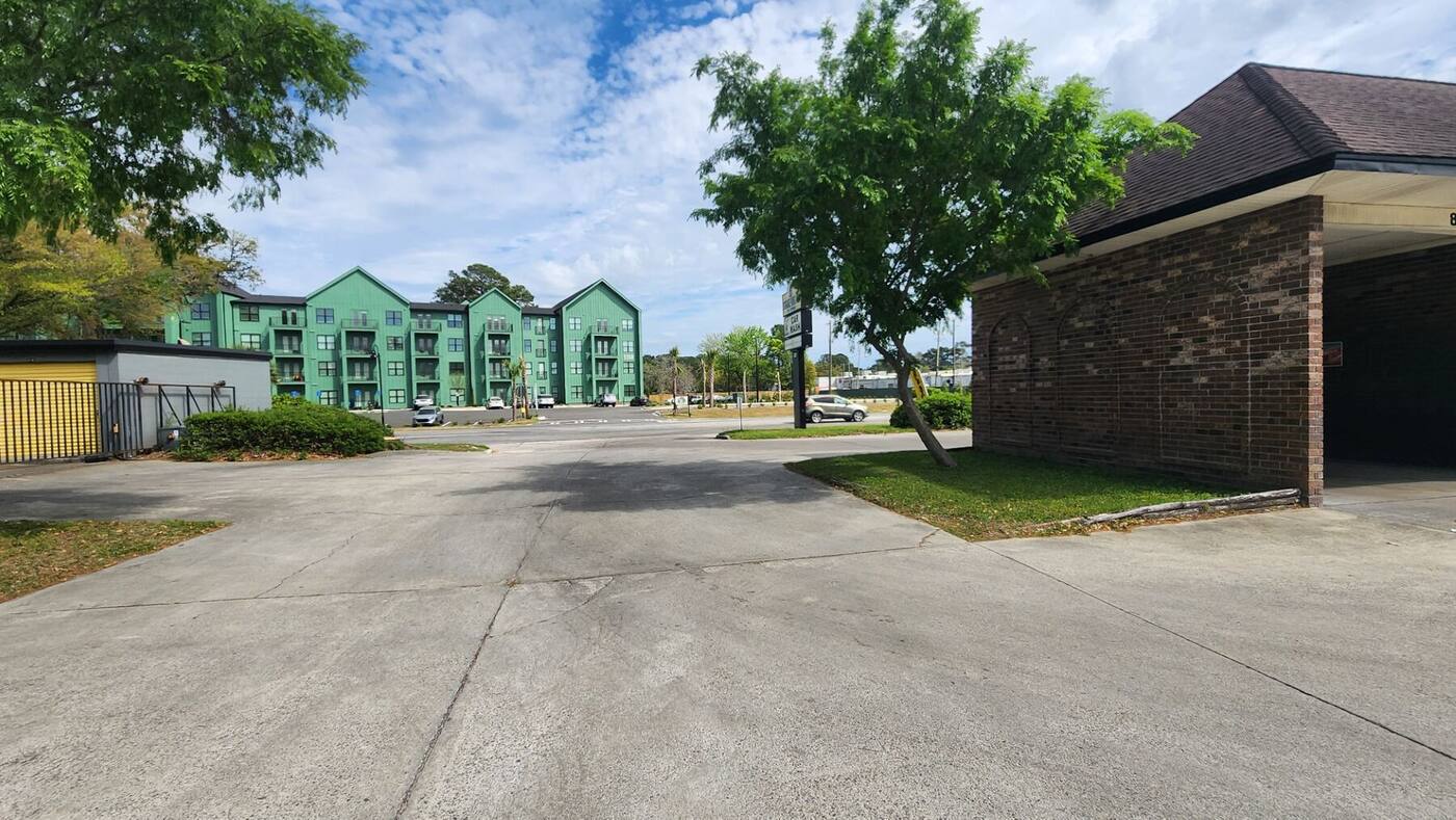
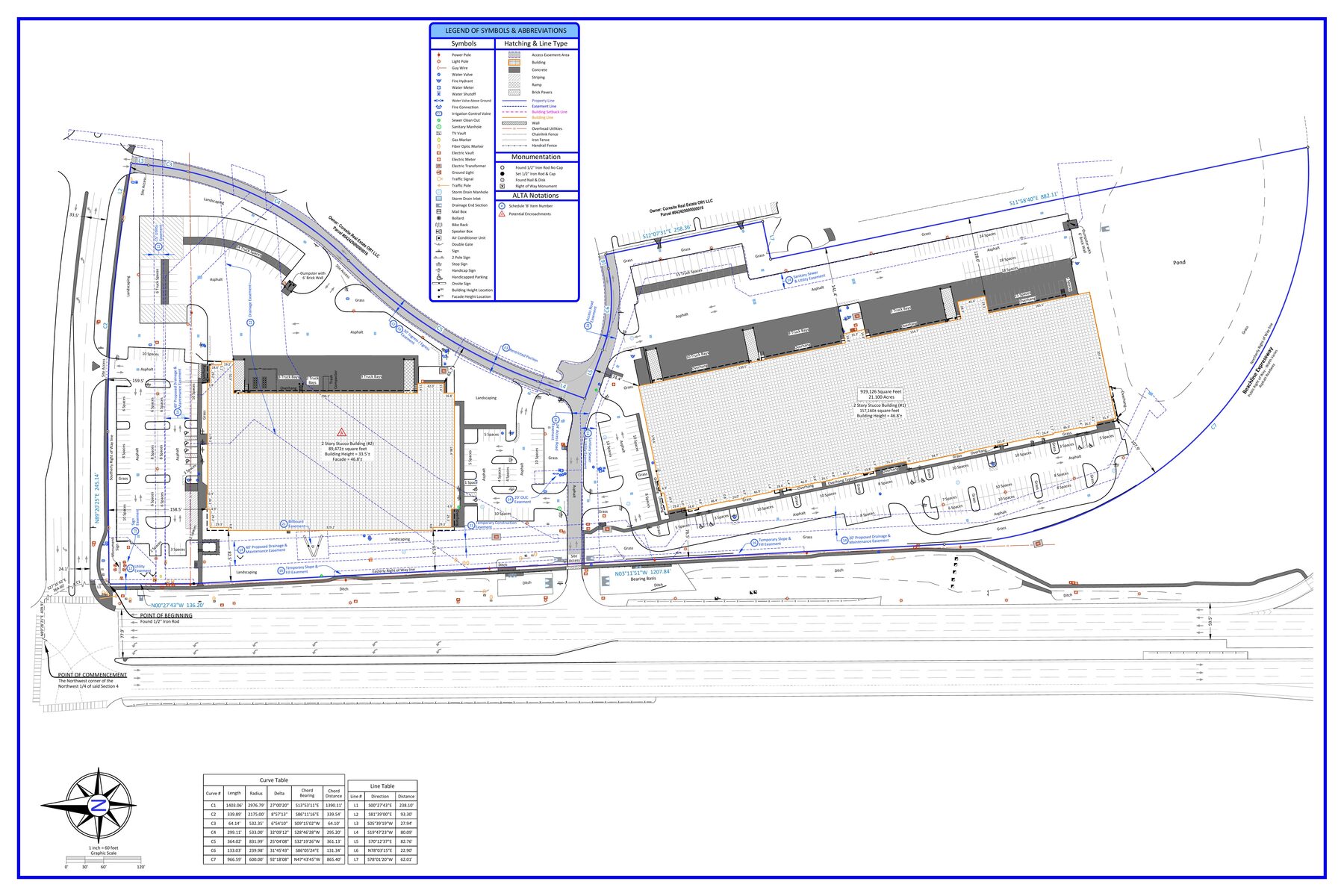
Large Industrial Facility

An industrial property involving substantial improvements, access areas, utilities, easements, record information, and client-specific drafting requirements.

Site ImprovementsRecord InformationUtilitiesCAD Standards
View Project →
Multiple Record Description Coordination

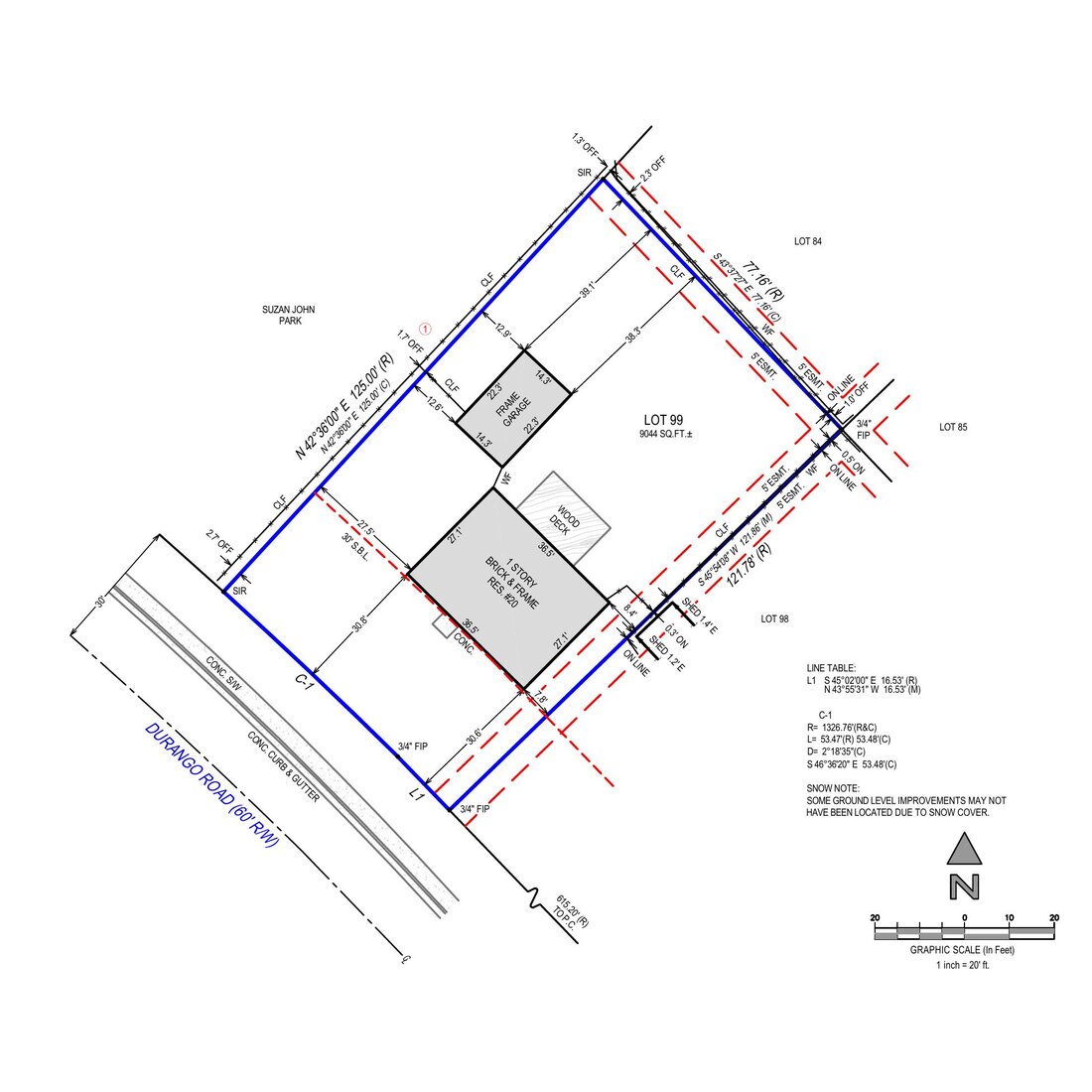
Complex Parcel Assembly

A project involving multiple parcels, deeds, plats, adjoining information, easements, and coordinated CAD geometry.

Parcel CoordinationRecord InformationDeed & Plat ReviewCAD Organization
View Project →
High-Detail Site Information

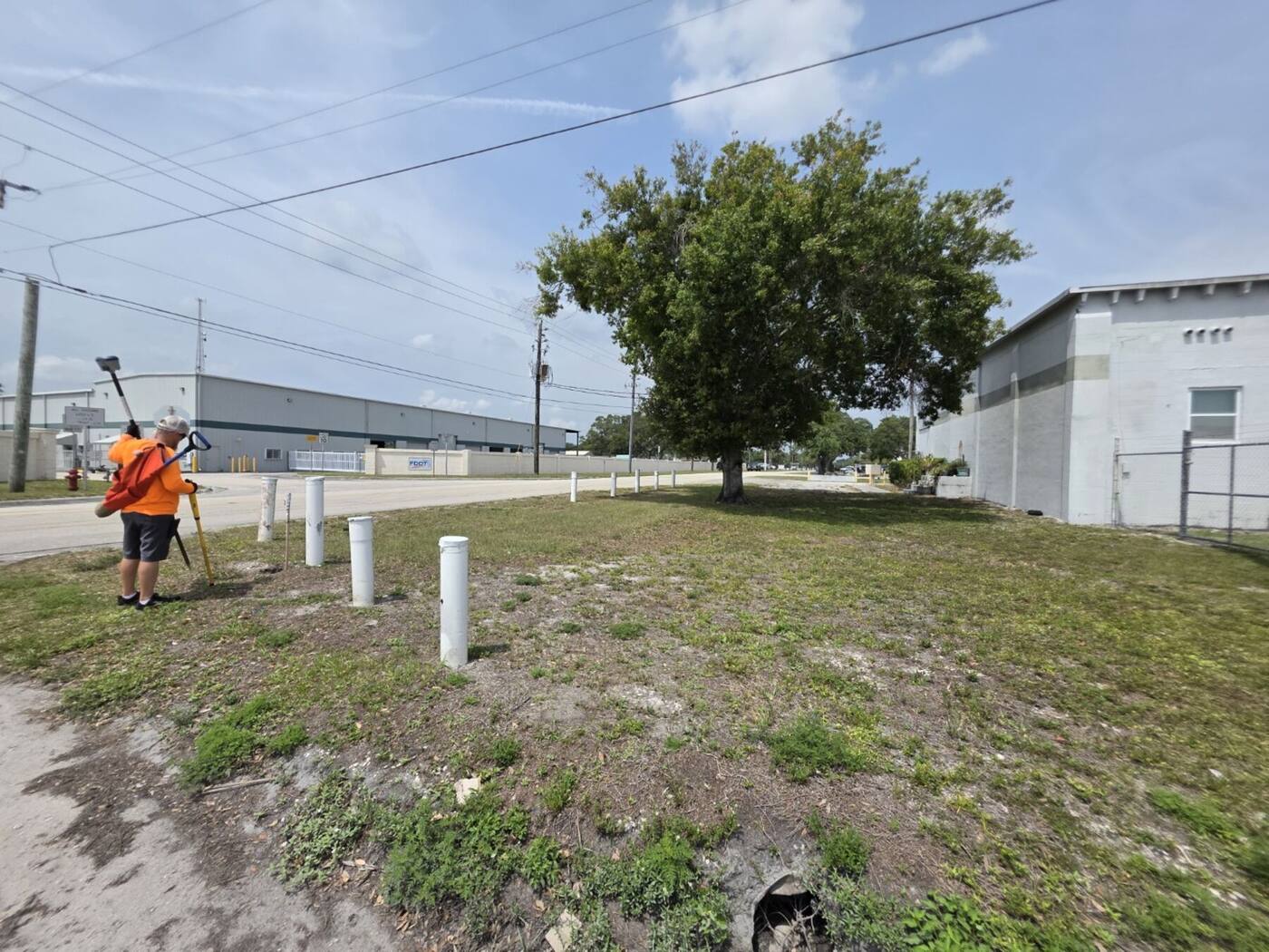
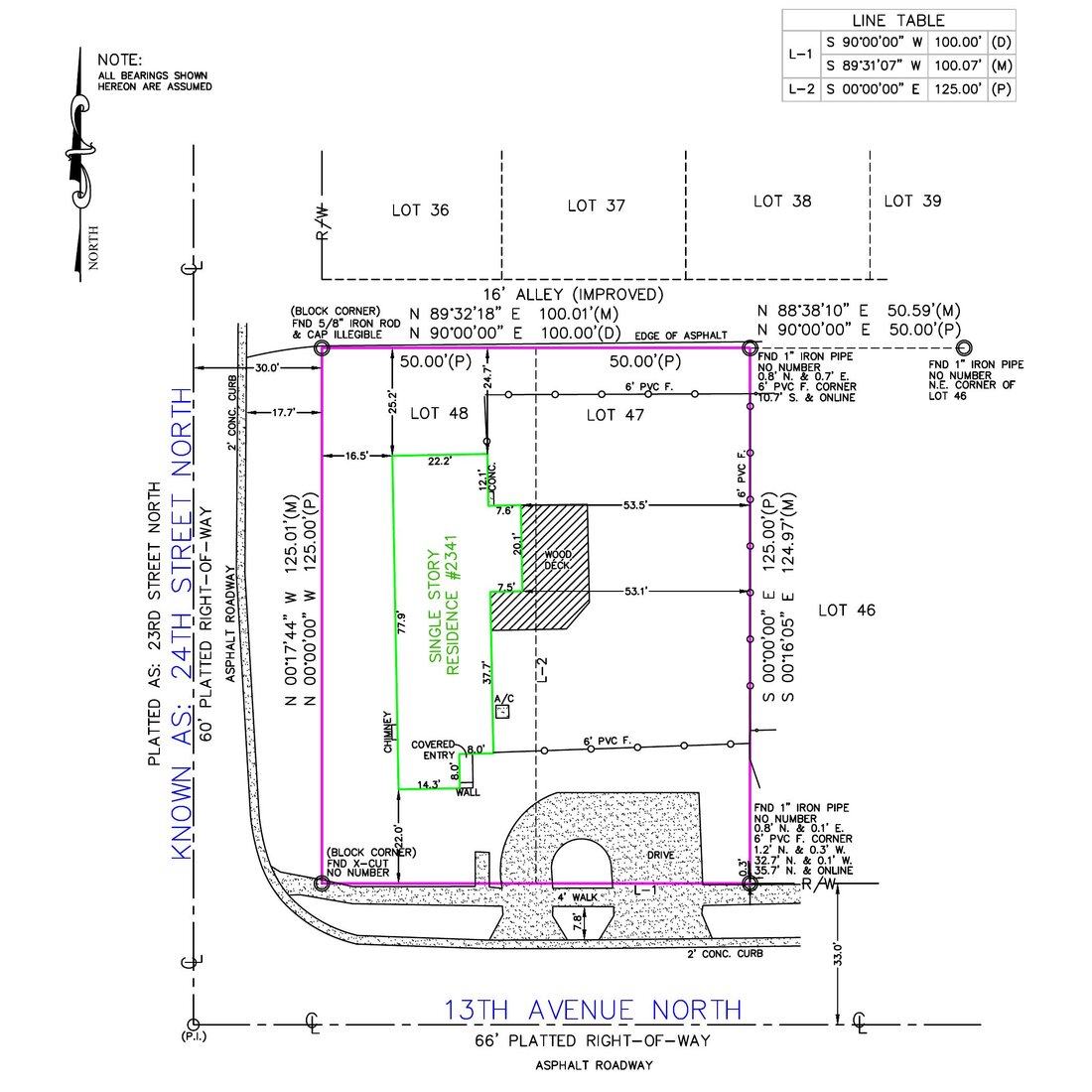
Detailed Existing Conditions Site

A detailed property involving structures, utilities, elevations, drainage features, pavement, and other existing site information organized into clear CAD presentation.

Existing ConditionsUtilitiesSite FeaturesDrawing Organization
View Project →
From Source to CAD

See the transformation behind the deliverables.

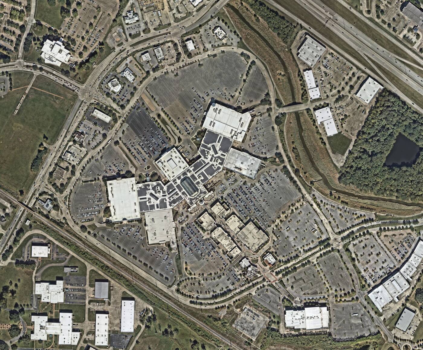
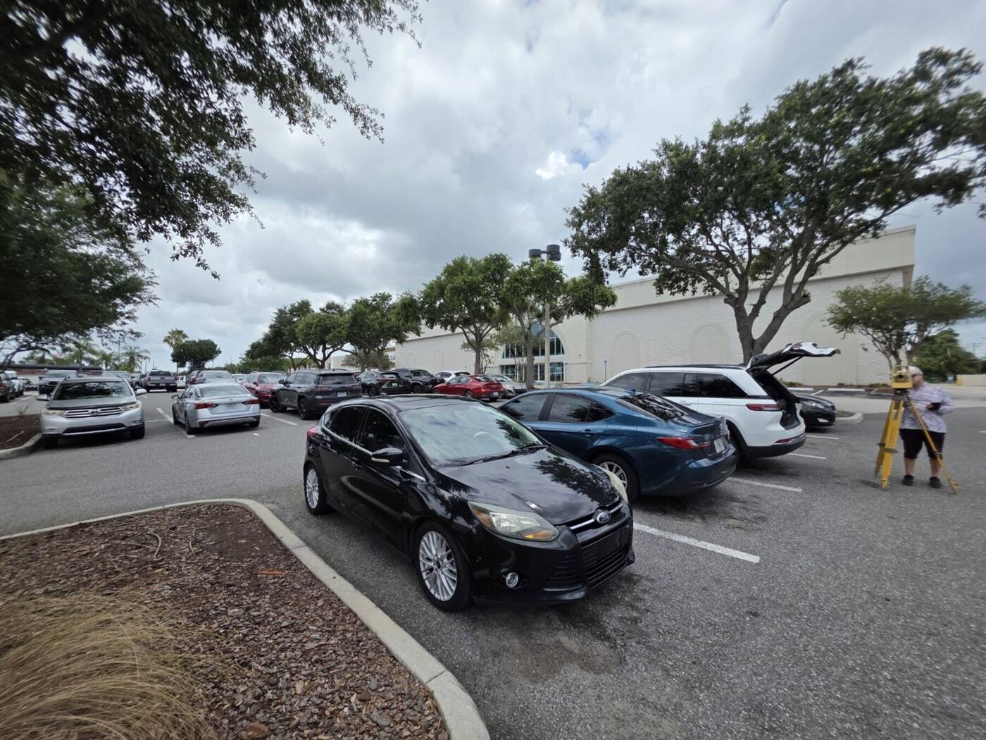
Our selected projects show the finished work. See how source information, aerial imagery, field data, markups, and preliminary files are developed into organized Survey CAD deliverables.

View Before & After Examples →
Client Information Protected

Real work. Carefully anonymized.

The examples shown on this page are selected to demonstrate our Survey CAD capabilities while protecting client and property information. Names, addresses, project numbers, ownership details, signatures, seals, title information, and other sensitive content may be removed, blurred, cropped, or generalized.

We would rather show less publicly than compromise a client’s information.
FAQ

Frequently asked questions.

Are the projects shown on this page real?+
Yes. The examples represent real Survey CAD projects supported by RRA CAD SOLUTION. Sensitive client and property information may be removed, blurred, cropped, or generalized.
Why are some project details hidden?+
We protect client confidentiality. Names, addresses, project numbers, ownership information, title details, signatures, seals, and other identifying information are not displayed publicly.
Can you share additional project samples?+
Additional anonymized examples may be shared privately with qualified prospects, subject to applicable confidentiality requirements.
Do you work with client-specific CAD templates?+
Yes. We work within client-provided templates, layers, blocks, annotation standards, and drafting procedures.
Can we start with a project similar to one shown here?+
Yes. You can begin with a suitable trial project so your team can evaluate our drafting quality, communication, and workflow alignment.
Who is responsible for final survey approval?+
The client and licensed surveyor retain responsibility for final professional review, certification, signing, and approval.
Have a Similar Project?

Let your project be the test.

The best way to evaluate our drafting support is to see how we work with your files, templates, standards, and review requirements. Start with one suitable project and evaluate our drafting quality, communication, and workflow alignment.

Upload a Trial Project Talk to Our Team
No long-term commitment required for a trial project.