Property Boundary Drafting
Subject tract and adjoining parcel linework drafted from deeds, record plats, and survey field data.
From deeds, record plats, and field data to a finished boundary drawing — we handle the drafting so your licensed surveyors can focus on analysis and review. Every drawing is produced in your CAD template, on your layers, following U.S. drafting standards.
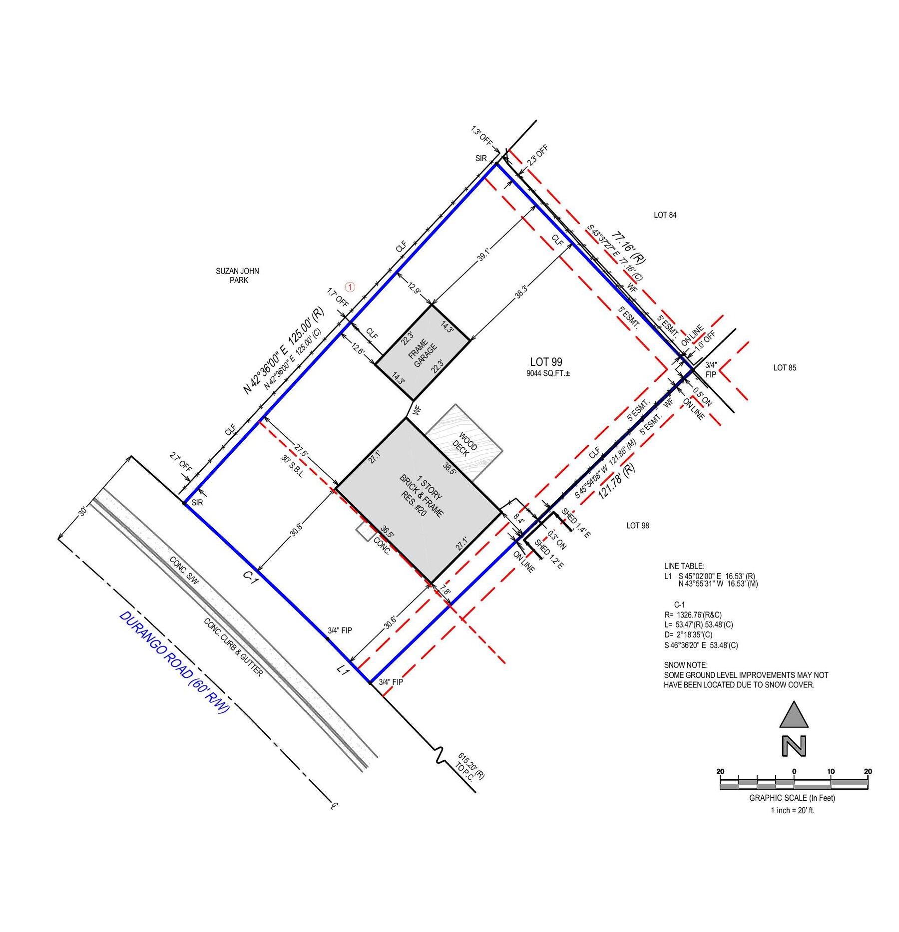
Four core areas of boundary drafting support — each produced to your firm's standards and reviewed through multi-level QA/QC before delivery.
Subject tract and adjoining parcel linework drafted from deeds, record plats, and survey field data.
Metes & bounds labeling with curve tables, record vs. measured comparison, and closure verification.
Right-of-way lines, record easements, and plottable items shown accurately from title documents.
Found and set monument callouts, corner details, legend, north arrow, scale, and final sheet setup.
Send us your project files — we return finished drawings in your own template, ready for your licensed surveyor's review and signature.
When project volume increases, drafting becomes the bottleneck. We help survey firms add capacity, maintain turnaround, and keep projects moving.